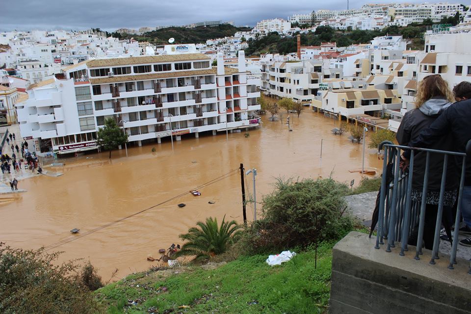
The provisional version of the Flood Risk Management Plans (PGRI) for the Guadiana (RH7) and Ribeiras do Algarve (RH8) Hydrographic Regions is under public consultation, until 30 November.
A session of public participation in these plans is scheduled for October 10, at 15 pm, in the meeting room of the Albufeira City Council.
In this session, a generic presentation of the provisional proposals of the two Plans will be made, in order to better elucidate their respective contents, namely the definition of risk reduction measures, and obtain the contributions that the presentation raises, with a view to due consideration for the improvement of plans.
According to the Portuguese Environment Agency (APA), which promotes public discussion, “the active participation of all interested parties in the preparation, review and updating of the PGRI is a key point for the Risk and Flood Assessment and Management Directive ( DAGRI), as an engine for the successful pursuit of its objectives».
The session is in person, and you can alternatively participate by videoconference, to which the access link will be sent in due course.
Admission is free, but registration is mandatory until the October 7th here.
You can consult the session program here.
The documents can be consulted at APA website or directly on the PARTICIPA portal where you can leave your contributions: Rhydrographic regions of the Guadiana | Rivers of the Algarve.
The Flood Risk Assessment and Management Directive (DAGRI), Directive no. PGRI), for six-year cycles, focused on the prevention, protection, preparation and forecasting of these phenomena, in close articulation with the management plans of the hydrographic regions.
Sectoral territorial planning in floodable areas is thus one of the key tools in reducing the risks of floods, which represent a real danger to the safety of people and goods.
For the Algarve, in Hydrographic Region 8 (RH8) – Ribeiras do Algarve, nine Areas of Significant Potential Flood Risk (ARPSI) of fluvial origin and three of coastal origin were identified in the 2nd cycle, while in RH7 – Guadiana, it was an ARPSI of fluvial origin was identified.


Comments