 O geographic information site of the Municipality of Tavira was updated and now has, according to the City Council, a more attractive and intuitive structure for the user.
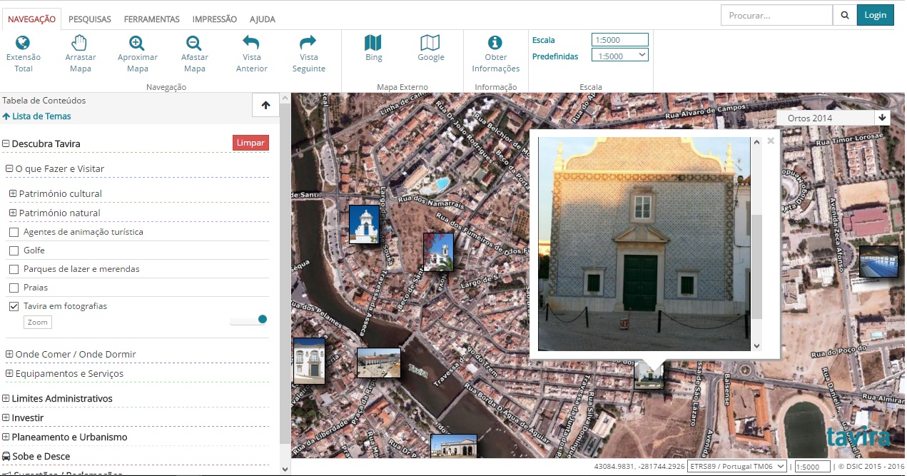
The new version of the website, developed with technologies open-source, is compatible with various platforms like PC's, tablets e smartphones.
The Chamber of Tavira explains that "this means of communication was built with the aim of making the territory known, as well as providing access to a diversified set of information regarding existing equipment and services in the municipality in areas such as: administration, culture, sport, education, prevention and public safety, health and social affairs».
The platform also provides data about the administrative limits of Tavira, as well as planning and urban planning. It is also possible to access information regarding the design of architectural projects, with the addition of new tools in the update that allow different degrees of interaction and exploration of maps and associated data.
Users can also discover what to visit, where to eat and sleep, heritage, tourist entertainment agents and beaches.
According to the Tavira local authority, "investors can also access information about the Tavira Business Park and have a real and concrete perception of the equipment, the leased, free, occupied or reserved lots".
This site also has an application of suggestions and complaints and specific information on urban transport in Tavira “Sobe e Desce”.
With this platform, «the municipality intends to continue contributing to administrative modernization, as it facilitates access to information available via the Internet».
The new website was created and developed by the technical services of the Chamber.


Comments