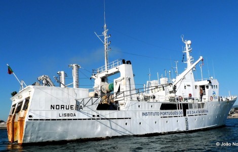
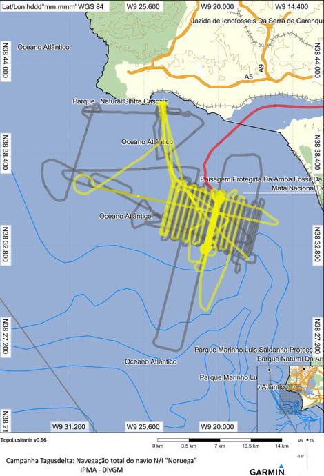
 Determining the size and structure of the underwater landslide that is thought to have occurred during the tsunami caused by the great earthquake in Lisbon on November 1, 1755 was the main objective of the «Tagusdelta» campaign, which took place on December 2 and 9, aboard the IPMA research vessel Norway.
According to IPMA, «the determination of the size and source of the landslide will provide data to estimate the “cause-consequence” effect between landslides and tsunamis in a shallow area such as the Tagus river delta and the city of Lisbon».
The campaign operated a 2D and 3D reflection seismic acquisition system with a sparker-type source with 800 tips, and a 6kJ electrical source with a firing frequency of 0.9 s.
The 2D seismic was carried out with a chain of hydrophones (streamer) with 24 acquisition channels. 3D seismic used two of these chains arranged in a V for full coverage of the seabed.
For this purpose it was necessary to carry out structural changes in N/I Norway: two articulated arms with 12 m in length each were installed outside the ship's sides, which added to the width of the ship makes about 39 m of coverage in each seismic line.
 The positioning of the acquisition cables geometry was guaranteed by the existence of three buoys with GPS antennas, one at each end of the acquisition V.
IPMA emphasizes that "the success of this campaign and the changes made to the ship open new perspectives for its use in the field of marine geology and geophysics exploration".
“It is, as far as we know, the first experience of 3D seismic data acquisition in shallow waters in Portugal operated on an experimental basis by oceanographic research institutions”, adds that institute.
The data acquired will also make it possible to visualize the evolution of the drainage network at the mouth of the Tagus since the last glacier peak, around 20 years ago, and also the active tectonic faults in the immersed area adjacent to the Lisbon region.
The technical team was made up of elements from IPMA, the University of Aveiro and the Geosurveys company.


Comments