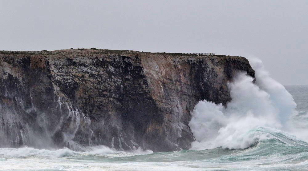
The wind and sea state forecast points to worsening weather conditions and maritime agitation for the west coast of mainland Portugal, between the morning of tomorrow, February 6, and 18:00 pm on Wednesday, the 10th, notified the National Maritime Authority and the Navy.
The sea agitation will be characterized by swells originating from the Northwest, with a significant height that can reach seven meters and a maximum height of 12 meters, with an average period between 10 and 14 seconds.
The wind may register an average intensity above 70km/h and gusts above 110km/h, coming from the Northwest quadrant.
Due to the forecasted storm, the Portuguese Institute of the Sea and the Atmosphere placed the entire western range of the districts of Faro, Beja, Setúbal, Lisbon, Leiria and Coimbra under Yellow warning.
Thus, the National Maritime Authority and the Navy recommend to the entire maritime community to "adopt a state of permanent surveillance at sea and in coastal areas, and redouble your care, both in preparing for a trip to the sea, and when at sea , and should also strengthen the mooring of berthed and anchored vessels'.
To the population in general, those entities remind that “a general duty of home collection is in place, so that people must remain at home, in safety, not unnecessarily exposing themselves to risk”.


Comments