Showers, occasionally hail and accompanied by thunder, which can sometimes be strong, gradually decreasing in intensity and frequency during the day on Sunday, snowfall in the mountains of the North and Center and strong sea disturbances on the Portuguese west coast.
This is, in summary, the forecast from the Portuguese Institute of the Sea and Atmosphere (IPMA) for this Sunday, March 10th, the day of Legislative Elections. A blamed It's Monica's depression, like that baptized by Meteo France, the French Meteorological Service.
According to IPMA, this depression, which was centered northwest of the Iberian Peninsula at 18UTC this Saturday, the 9th, «will gradually move east and fill, progressively reducing the unstable conditions during the 10th».
Therefore, showers are expected, occasionally hail and accompanied by thunderstorms, which can sometimes be strong, gradually decreasing in intensity
and frequency during the day on Sunday.
Snowfall will occur above 800/1000 meters in altitude in the North and Center regions, gradually rising to 1400 meters during the 10th, continuing to accumulate in several places where there is already snow on the ground.
The wind will blow moderately, sometimes strong, from the northwest, especially on the coast and in the highlands, where gusts will be, respectively, up to 75 km/h and up to 90 km/h, gradually weakening from Sunday morning onwards.
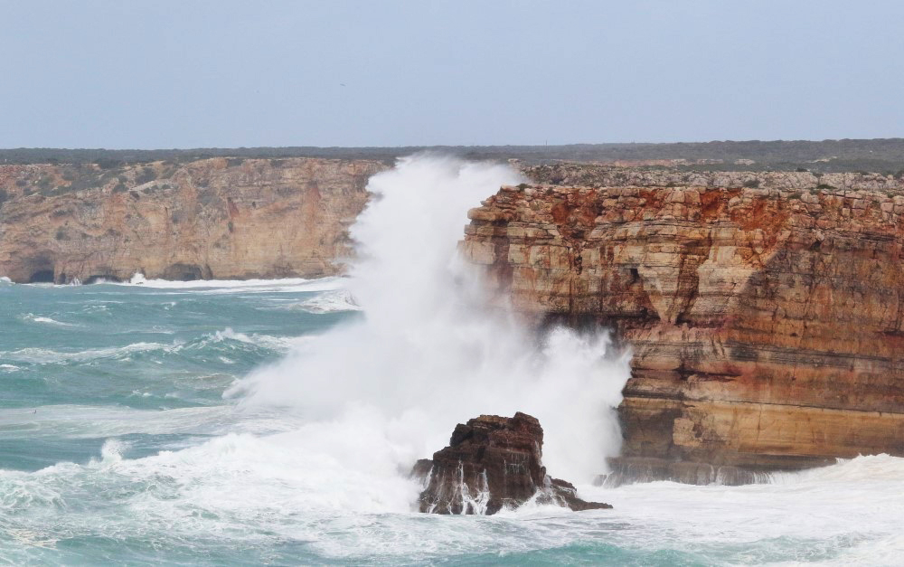
For the Algarve and Alentejo, what is most interesting is the forecast of sea unrest, which will remain strong, especially on the western coast, with waves between 5 and 8 meters in height.
The waves could even, until the early morning of the 10th, reach a maximum height of 14 meters south of the mouth of the Douro River, and decreasing to 4 to 5 meters from Sunday afternoon onwards.


Comments