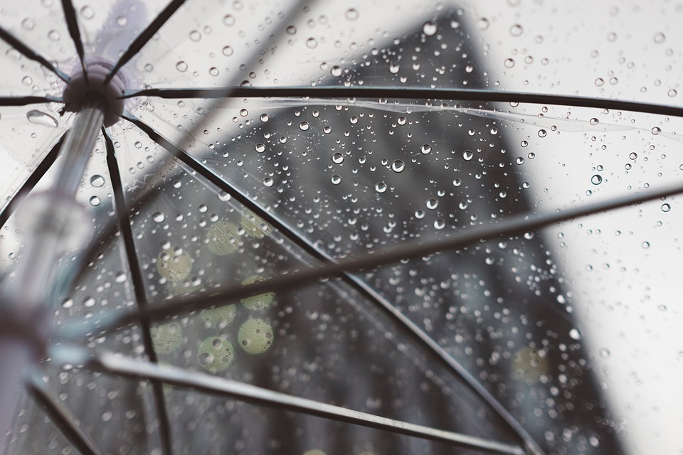
The southern districts of the country – Faro, Beja, Évora, Setúbal and Portalegre - are all under yellow warning from the Portuguese Institute of the Sea and the Atmosphere (IPMA) because of the forecast drop in precipitation, in the form of showers, sometimes heavy, and hail, which may be accompanied by a thunderstorm.
This notice is active until at least midnight this Tuesday, the 14th.
According to Meteophons website, the forecast for today is “generally cloudy skies, with periods of rain or lighter or moderate showers in the morning (which already occur in the Eastern Algarve and inland Alentejo), and occasionally stronger, in the Alentejo and Algarve, especially during the afternoon".
These showers may "be accompanied by occasional thunder, hail and stronger gusts."
The wind will be moderate to strong from the east, turning south towards the end of the day. The maximum temperatures will be around 18ºC in the Algarve, 19ºC in the Alentejo, 19ºC in the Vale do Tejo, 22ºC in the North Coast and 18ºC in the North interior and 16ºC in the Center interior. The swell will be from Southeast with 1 meter on the south coast, increasing to 1 to 2 meters in the afternoon, and from Northwest with 1,5m on the west coast.
Tomorrow and Thursday, the weather should remain very cloudy, with the possibility of showers.


Comments