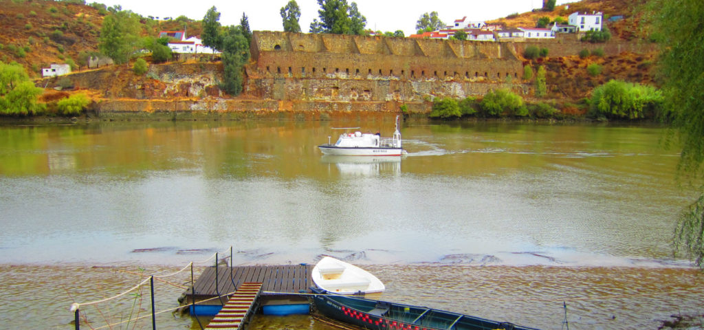
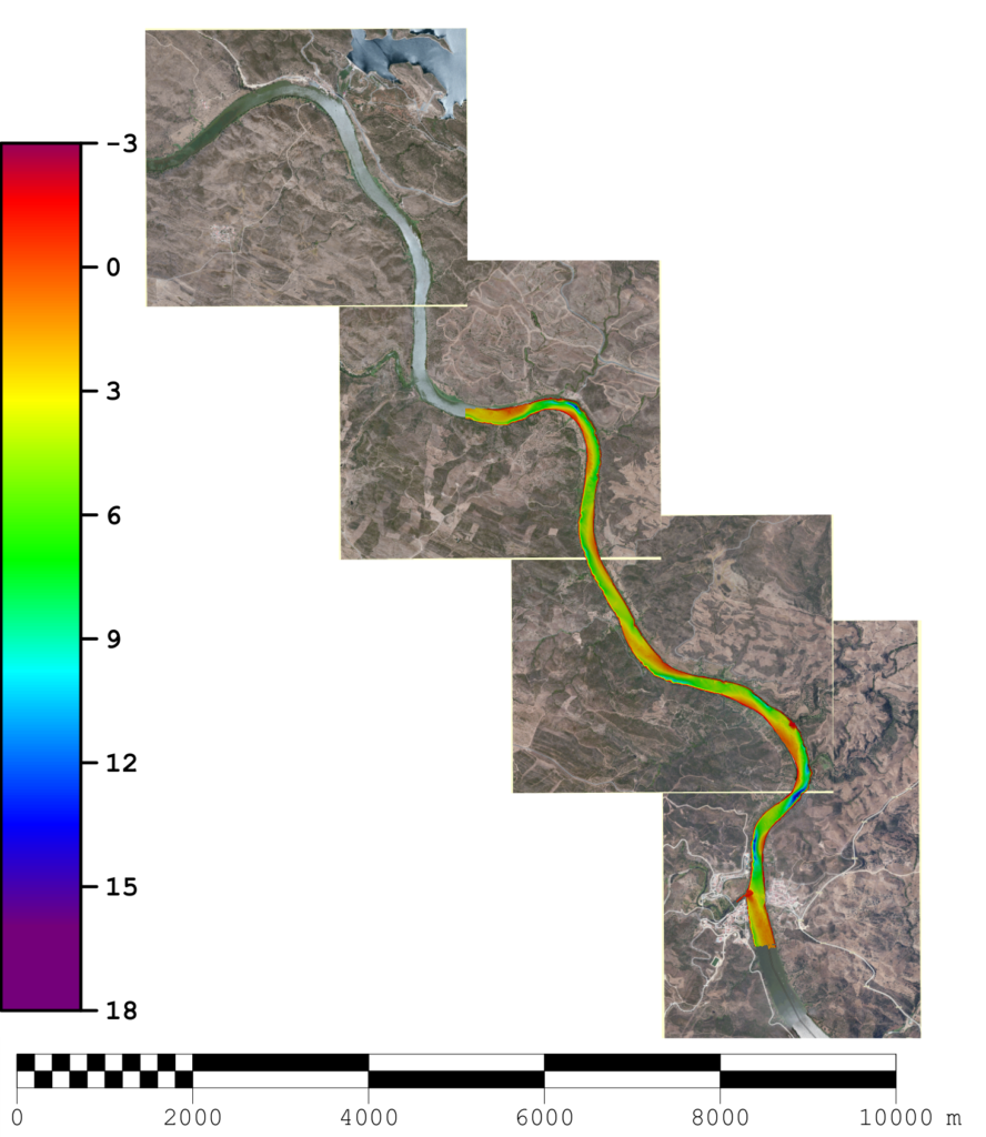
 A brigade from the Navy's Hydrographic Institute has been carrying out a topo-hydrographic survey on the Guadiana River, between Alcoutim and Pomarão, since October 9, and is expected to end on the 19th of this month. This survey is part of the project “Guadiana: Navigable Natural Heritage”.
This project aims to rehabilitate the navigability of the Guadiana in the international section, where the river establishes the border between Portugal and Spain, as well as the existing port infrastructure on both sides, and the respective accesses.
This project aims to «increase navigation safety» and thus provide «the development of recreational and tourist activities».
This project is part of the Portugal-Spain Cross-Border Cooperation Operational Programme, which includes as partners the Hydrographic Institute, the General Directorate of Natural Resources, Security and Maritime Services, Docapesca – Portos e Lotas and also the Public Agency of Puertos de Andalucía.
The objective of the work of the Hydrographic Brigade is to obtain updated topo-hydrographic information on the Guadiana waterway.
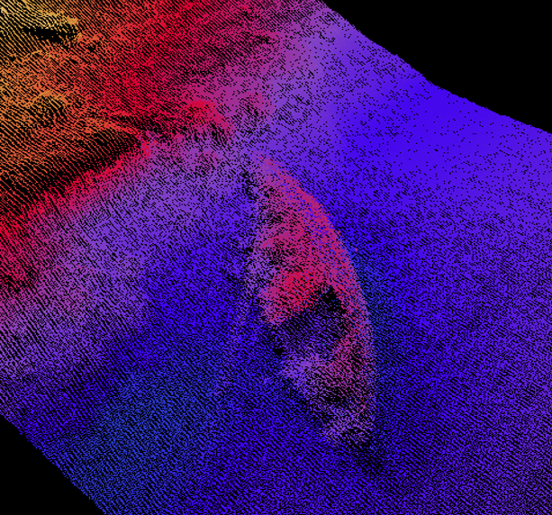
The acquisition of sounding data from the river bed is done through a high resolution multi-beam system, installed in a boat, and a single-beam sounder, installed in a boat.
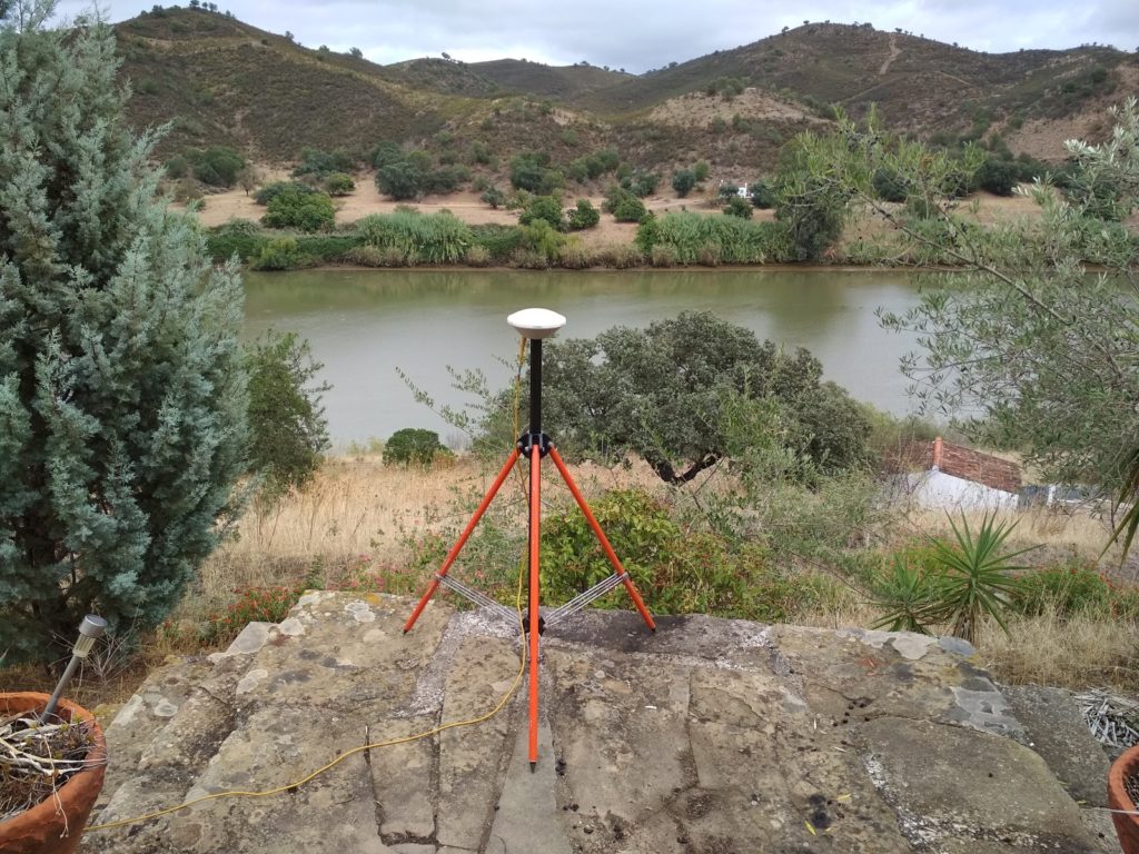
The topography of structures and support points was carried out using satellite radio-positioning methods (GNSS, Global Navigation Satellite System).
After carrying out the topo-hydrographic survey, the physical-chemical characterization of the sediments, the maritime marking project and the respective production of nautical cartography will be carried out.


Comments