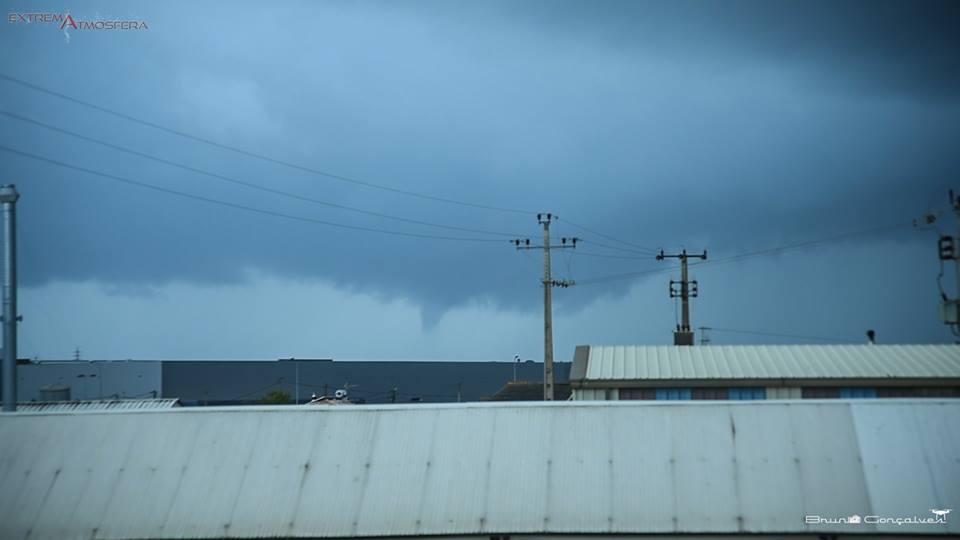
The stormy late afternoon, yesterday, in Lagoa, led to the formation of a «funnel cloud» in the south of the county, in the sea. This funnel-shaped cloud, «which lasted about 10 seconds», «never touched the ground». If it had done so, according to amateur meteorologist Bruno Gonçalves, who recorded the phenomenon in photography and video, it would have resulted in a tornado.
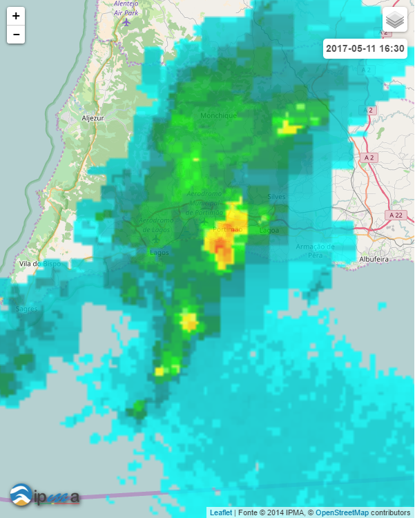
Bruno Gonçalves, responsible for the websites Meteophons e extreme atmosphere and one of the founders of the Troposfera association, explained that the storm, with wind, hail, rain, thunderstorm, and, apparently, even an “almost” tornado, which hit the Lagoa area and a little of the entire Barlavento region at 17:30 pm yesterday, it was due to “a very active convective cell, evolving from Sagres” (see meteorology image).
Taking into account that the members of the Troposphere association, of which the environmental engineer Bruno Gonçalves is the founder, went to the “tornado alley” in the US in 2015 in search of tornadoes, unable to to take none, it was interesting that it was in Lagoa that the amateur meteorologist got his first live footage of such a phenomenon… But thankfully that didn't happen. Is that the Lagoans (and the Silvenses) already know the consequences of a tornado.
Watch the video of yesterday's late afternoon storm:
And more photos:
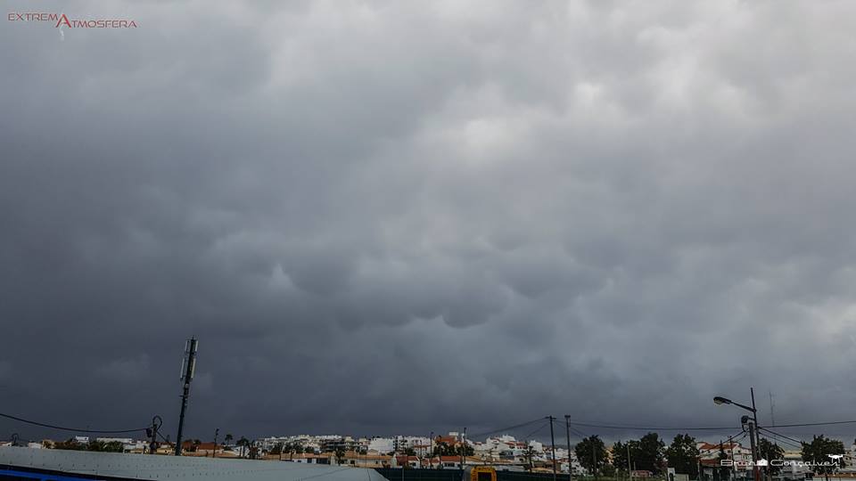
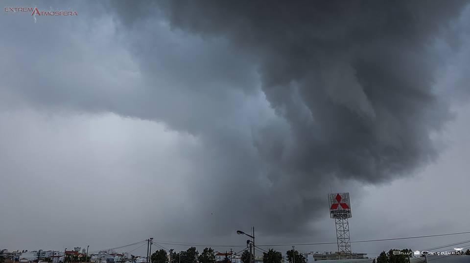
Note: All photos and video are by Bruno Gonçalves/ExtremAtmosfera


Comments