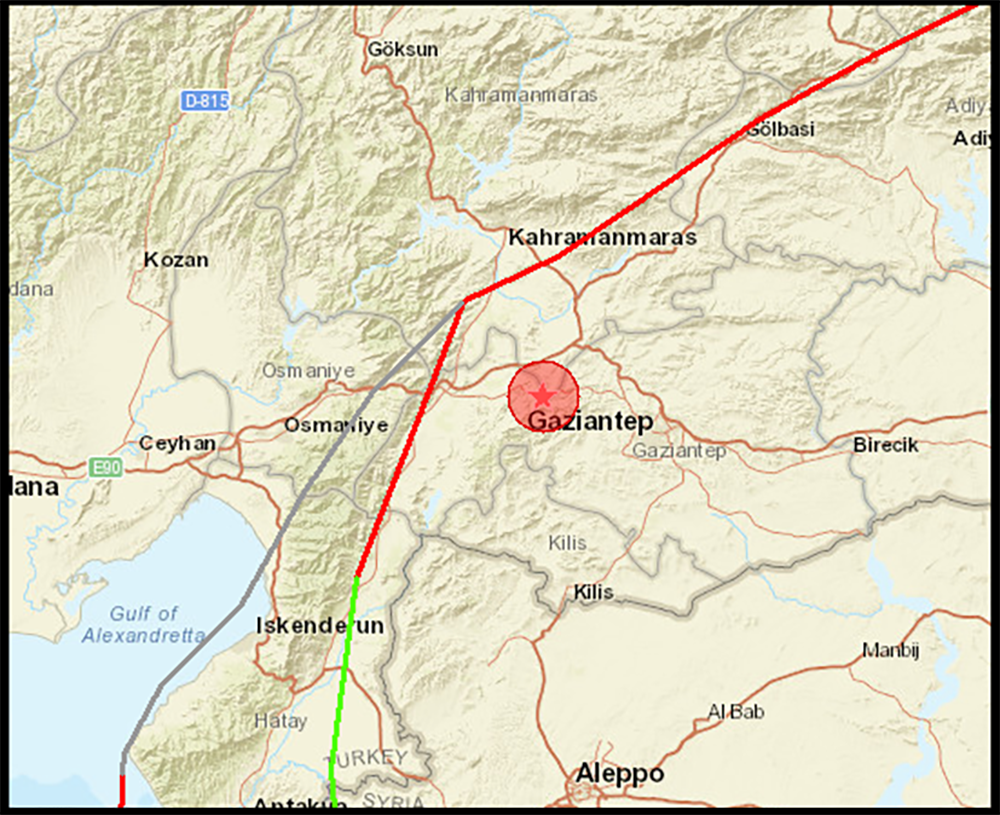
A strong earthquake of magnitude 7,8 [MW- moment magnitude] occurred this Monday, February 6, at 01:17 UTC in Turkey, about 35 kilometers from the city of Gaziantep, with a surface depth of 18 km and 86,4 .XNUMX km from the coast, confirms the Portuguese Institute of the Sea and the Atmosphere (IPMA).
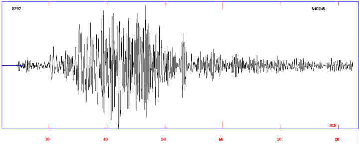
The earthquake, as shown in the following image, was recorded by the IPMA seismograph network in Portugal.
According to the modeling done by the United States Geological Survey (USGS), the rupture had an approximate length of 200 km.
This earthquake was felt with a maximum intensity of IX (USGS), which, stresses the IPMA, "represents a vibration level classified as violent with very significant potential damage".
According to media reports, this earthquake caused heavy damage and casualties in Turkey and Syria. The death toll in Turkey now exceeds 1000, and at least 130 tall buildings have collapsed in Gaziantep.
This earthquake generated a very small tsunami that was recorded on the tide gauges of Iskenderun and Erdemli in Turkey with a maximum wave amplitude of 20 cm.
The earthquake was followed by several aftershocks, including one of magnitude Mw 6,7 (at 01:28 UTC) and the last one of magnitude Mw 7.5 at 10:24 UTC near the town of Ekinözü in Turkey.


Comments