O Navio Marinha is carrying out a hydrographic survey in the Algarve equivalent to around 280 football fields.
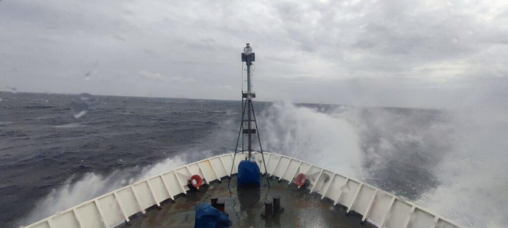
Despite the worsening weather conditions, the Navy informs that the NRP D. Carlos continues to carry out hydrographic surveys on the Costa Vicentina and in the south of the Algarve, «and so far three areas located off Sines and two to the west have already been surveyed. of Cape St. Vincent».
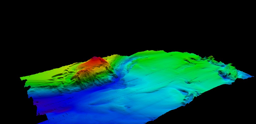
It is currently carrying out hydrographic work south of Faro, in an area close to the access to the Gulf of Cádiz channel, with the peculiarity of finding the cannon of Faro.
Currently, the ship already covers a surveyed area of 1994,77 square kilometres, the equivalent of around 280 football fields, «under the adverse weather conditions that have plagued the Algarve coast».
Next week, the ship expects to carry out operations with a towed magnetometer and the recovery of the oceanic buoy of Faro which is located 80 km south of the city.
In addition to hydrographic surveys, navy personnel continue to carry out their own training activities.


Comments