The Navy hydrographic vessel NRP D. Carlos I, currently in the Azores, carried out, in the first two months of the mission, the analysis of an area of 47.997 square kilometers (km2), equivalent to half the areas of Mainland Portugal and the Archipelagos together.
In the current mission, the hydrographic vessel has already sailed 6.263 nautical miles, the equivalent of more than 11 kilometers.
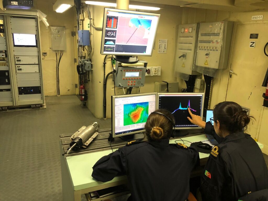
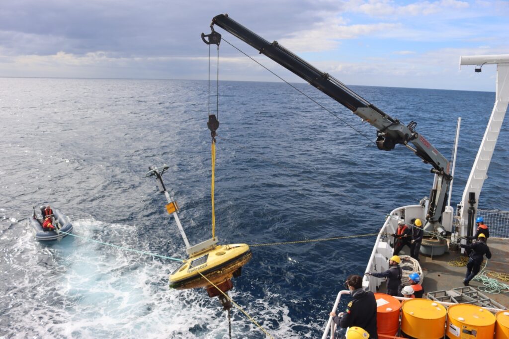
The NRP D. Carlos I aims, during this mission, to survey several areas of interest defined by the Hydrographic Institute, to carry out the hydrographic survey, with a view to a greater extent of mapping the seabed and also for cartographic updating.
The Navy ship has a garrison of 35 soldiers and is commanded by frigate captain Pedro Aires de Castro.


Comments