![]() A team of researchers from the Faculty of Science and Technology of the University of Coimbra (FCTUC) developed a new computer model, relevant to the application of a new generation of 3D reconstruction systems for urban environments.
A team of researchers from the Faculty of Science and Technology of the University of Coimbra (FCTUC) developed a new computer model, relevant to the application of a new generation of 3D reconstruction systems for urban environments.
Services like “Google Street View” give a 3D perspective of the streets, but are limited to the point of view of the vehicle that captured the images. Providing an immersive experience, in which the user freely navigates the streets, the Coimbra team of researchers created a system that obtains detailed 3D reconstructions of cities.
The project caught the attention of Google, which selected it as part of a very competitive worldwide ideas competition, with acceptance rates in the order of 15%, and subsequently financed it.
The research, started in January 2014, brings together two research groups from the Department of Electrical and Computer Engineering (DEEC) at UC – Robotics Systems Institute and Telecommunications Institute.
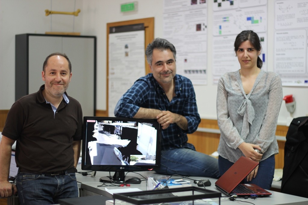
The big news of this technology, which is in the prototype stage (demonstration available at: https://www.youtube.com/watch?v=OeYEwq-8TBI), say researchers Carolina Raposo, João Barreto and Gabriel Falcão, “is that this algorithm is based on the use of planes, not only to describe the scene, but also to calculate the camera's movement. This causes 3D models to be automatically generated and stored in a very compact way (unlike existing methods that work with point clouds), allowing for their rapid transmission».
Another advantage of using planes, the researchers continue, is that “this technology is able to work with a small number of images. This is because it is common for the same plane to be “seen” by the cameras in distant positions, allowing movement to be recovered. This is not the case with current methods that require images to be acquired in physically close positions and, consequently, require much more information».
Additionally, this system uses parallel processing architectures to greatly speed up computing time, automatically generating 3D maps and storing the information on the server.
Author: Cristina Pinto (Press Office – University of Coimbra)
Science in the Regional Press – Ciência Viva


Comments